Dataset Overview
The Road Is the Dataset.
A production-ready dataset captured on real roads by AIR4D (AFI920) — multi-sensor sync · 3D ground truth · curated directly by the sensor manufacturer.
01 — Coverage
Where, how long, and in what conditions.
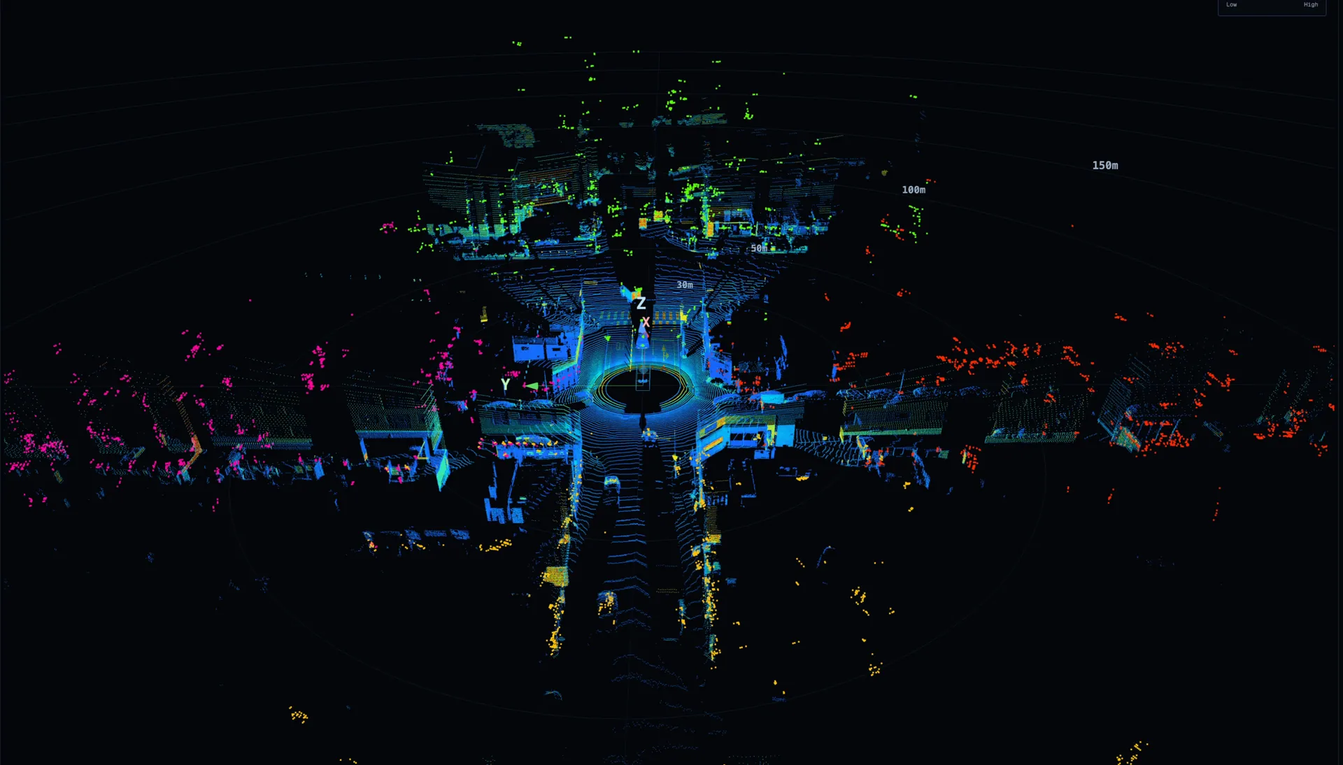
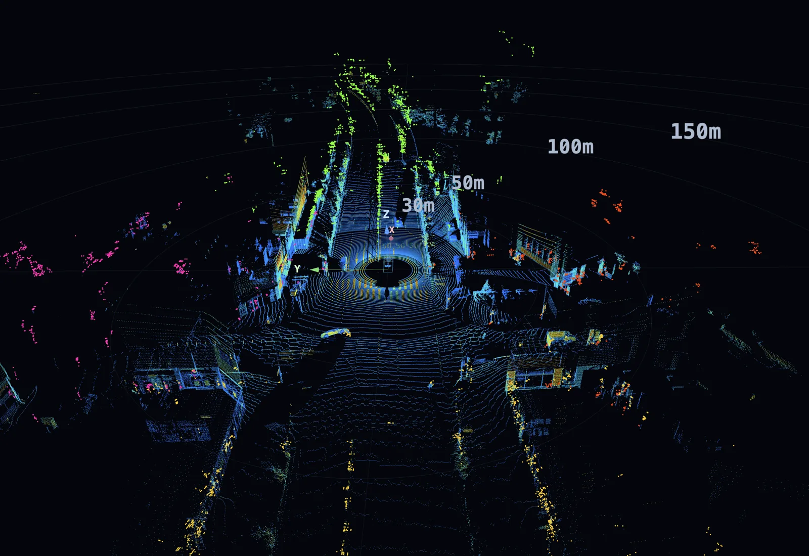
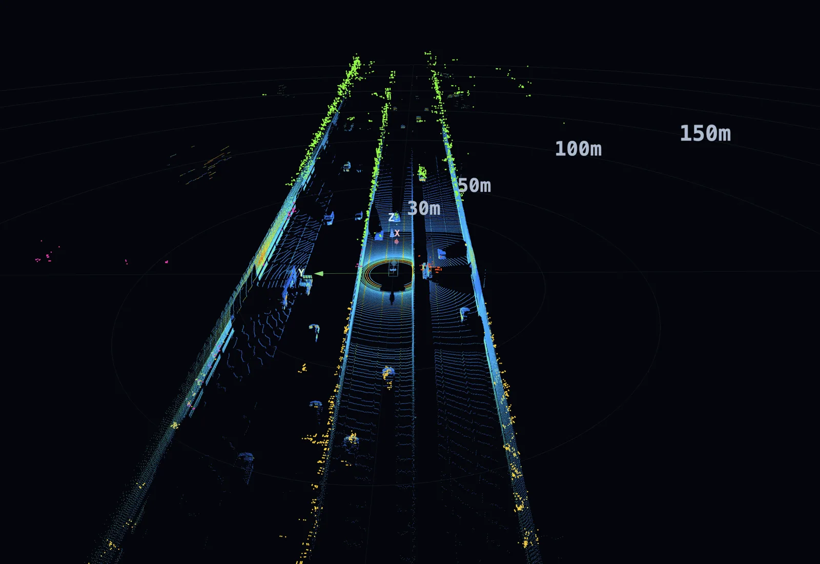
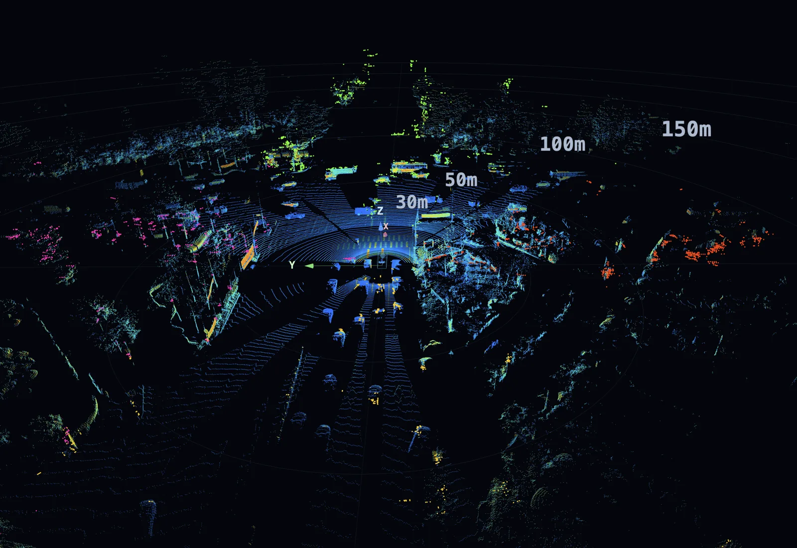
A real-drive dataset spanning diverse regions, environments, weather, and times of day. Every clip carries structured ODD (operational design domain) and scenario tags.
02 — Structure
Dataset structure & format.
A Parquet-based dataset — clip-level self-contained metadata lets you apply your own split policy freely.
ride-dataset/
├── DATASET_MANIFEST.json        # dataset-wide index
├── LABELING_SCHEMA.json         # label definitions (dataset-wide)
└── <YYYYMMDD>/
    └── <clip_id>/               # e.g. 20260526_drive01_clip001 (60s)
        ├── metadata/
        │   ├── <clip_id>.calibration.parquet
        │   ├── <clip_id>.acquisition.parquet
        │   ├── <clip_id>.processing.parquet
        │   ├── <clip_id>.context.parquet      # ODD · scenario tags
        │   ├── <clip_id>.egomotion.parquet
        │   └── <clip_id>.frame_index.parquet
        ├── sensors/
        │   ├── camera/<sensor_id>/{frames.mp4, frames_timestamps.parquet}
        │   ├── lidar/<sensor_id>/<clip_id>.<sensor_id>.spins.parquet
        │   ├── radar/<sensor_id>/<clip_id>.<sensor_id>.scans.parquet
        │   ├── gnss_ins/<sensor_id>/<clip_id>.<sensor_id>.samples.parquet
        │   └── vehicle/<clip_id>.can.parquet
        ├── ground_truth/
        │   ├── <clip_id>.objects.parquet
        │   ├── <clip_id>.road_elements.parquet
        │   └── <clip_id>.free_space.parquet
        └── <clip_id>.integrity.sha256
| Unit hierarchy | Clip (fixed 60 s) → multi-sensor synchronized frames |
| Self-contained | Each clip bundles metadata, sensors, and ground truth — usable standalone with no external dependencies |
| Split policy | Role-neutral — no enforced train/val/test split; partition freely under your own policy |
| Format | Parquet (Arrow) · MP4 (Camera) · JSON (manifest · labeling schema) · ZSTD lvl 3 · UTC epoch μs |
| Annotation | 3D bounding boxes · tracking IDs · perception layers (object · lane · structure · freespace) |
| Time sync | PTP/gPTP hardware-level sync · pre-calibrated |
| Coordinate | base_link = lidar_top ground plane · X forward / Y left / Z up · meters · right-handed |
| License | Commercial evaluation license — details provided separately |
03 — Sensor Suite
Multi-modal sensor configuration.
An 11-device configuration built around four 360° 4D Imaging Radars, collecting LiDAR · Camera · GNSS/IMU together. Every sensor is pre-calibrated into a shared base_link frame and precisely synchronized over dedicated PTP/gPTP infrastructure.
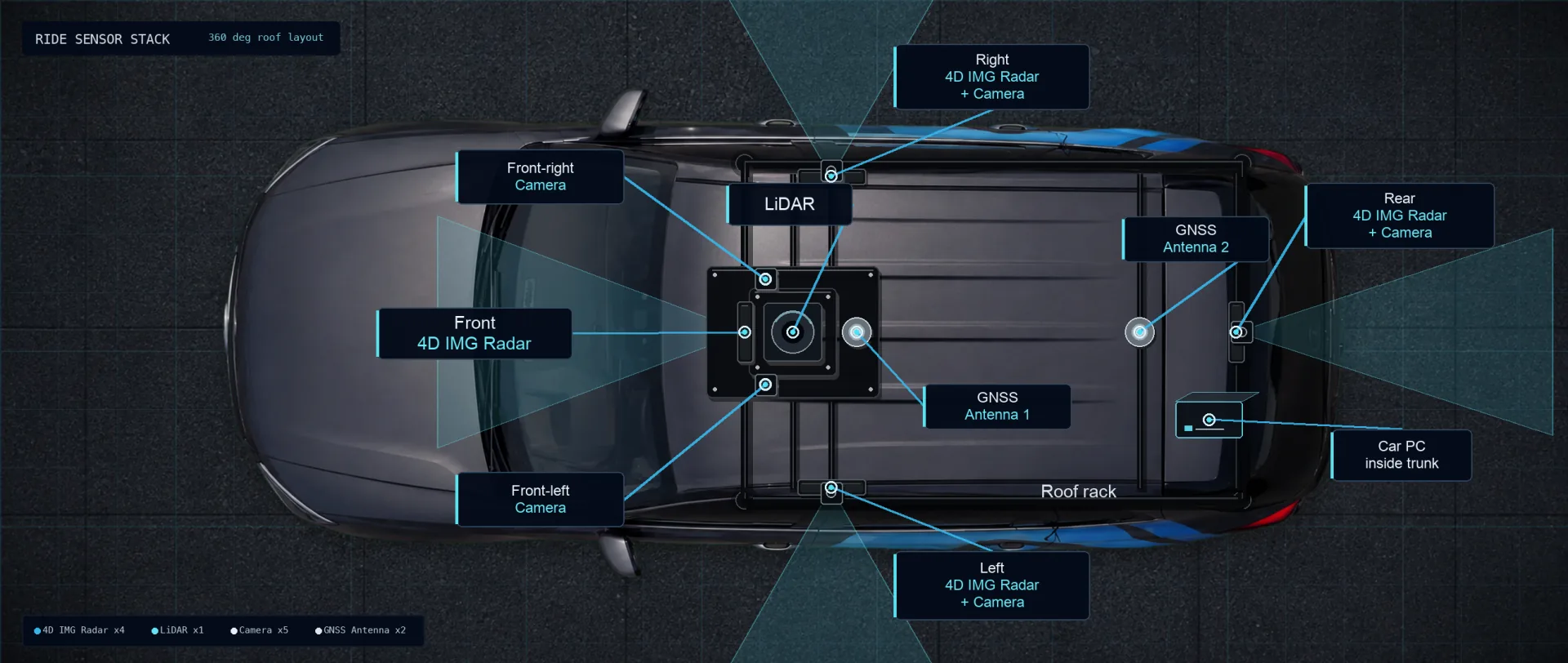
Vehicle Platform — Hyundai Santa Fe TM · roof-rack sensor mount · in-house onboard compute
| Type | Model | Qty · Position | Key Spec |
|---|---|---|---|
| 4D Imaging Radar | AFI920 (bitsensing) | × 4 · front · rear · left · right |
range · azimuth · elevation · velocity · 10 Hz · SR FOV 120° / LR FOV 60° Spec sheet ↗ |
| 3D LiDAR | Hesai OT128 | × 1 · top (center) | 360° spinning · 128 ch · 10 Hz · x · y · z · range · intensity |
| Camera | SG3S-ISX031C-GMSL2F (SENSING) | × 5 · front · sides · rear | 1920×1080 · 20 FPS · front stereo HFOV 60° × 2 + side/rear HFOV 120° × 3 |
| GNSS + INS | Novatel CPT7 | × 1 · front · rear antenna | RTK-grade GNSS · 100 Hz IMU · dual antenna · sync reference clock for this dataset |
| Master clock | GNSS-based time signal (converted to UTC at storage) |
| Protocol | Camera · GNSS = PTP / LiDAR · Radar = gPTP |
| Sync infrastructure | Dedicated in-vehicle sync switch (PTP ↔ gPTP conversion) |
| Master ↔ sensor offset | ≤ 100 μs (Max ≤ 1,000 μs) — time error between master clock and each sensor |
| Cross-sensor match | LiDAR ↔ Camera/Radar ±25 ms (Max ±50 ms) |
| Timestamp format | UTC Unix Epoch μs (int64) |
| Coordinate | base_link = lidar_top ground plane · X forward / Y left / Z up · meters · right-handed |
04 — Use Cases
What radar-native data unlocks.
Research that only a dataset with 4D Imaging Radar point clouds opens up. From world models to occupancy and end-to-end driving, it adds a radar-native observation layer to camera- and LiDAR-centric research.
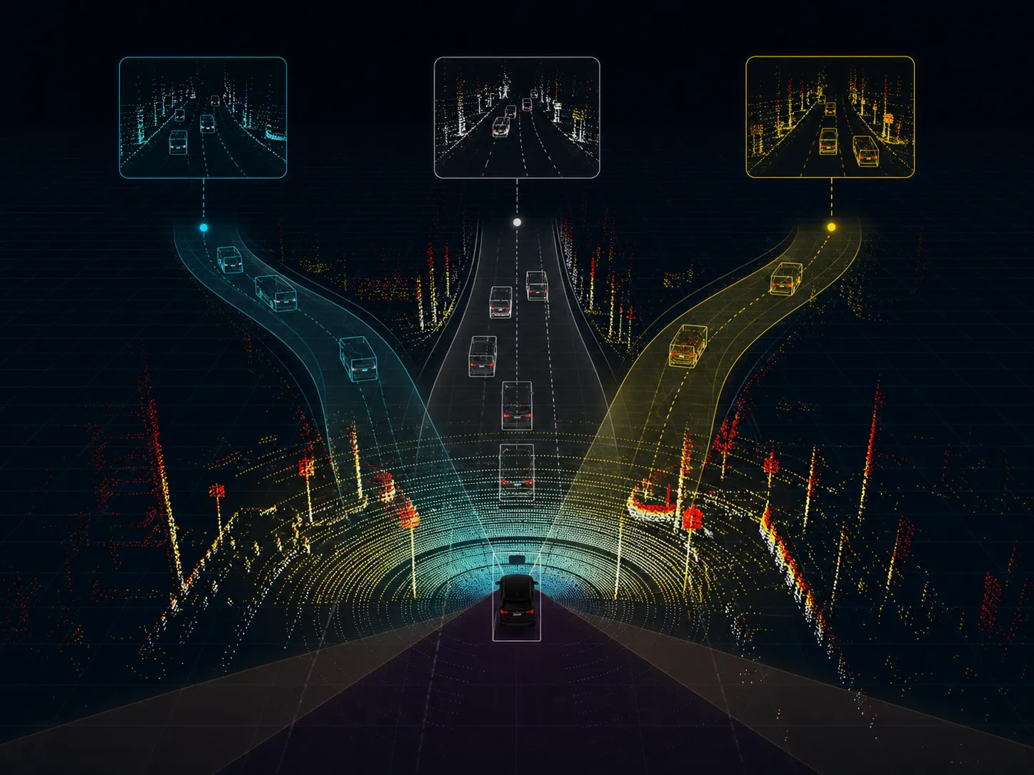
Radar World Simulation
Study long-tail scene generation, closed-loop rollout, and counterfactual prediction on real 4D Imaging Radar point clouds. By adding the radar-native observation layer that camera/video world foundation models lack, it raises simulation fidelity through adverse weather and low light.
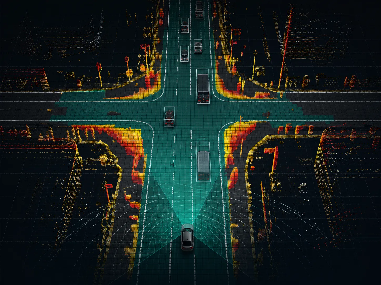
Radar Occupancy & Mapping
Using LiDAR point clouds and camera-based maps as ground truth (GT) and supervision, train and validate models that predict drivable space · occupancy · road boundary · bird's-eye-view (BEV) map from 4D Imaging Radar point clouds alone — extending LiDAR-centric HD-map research onto radar.
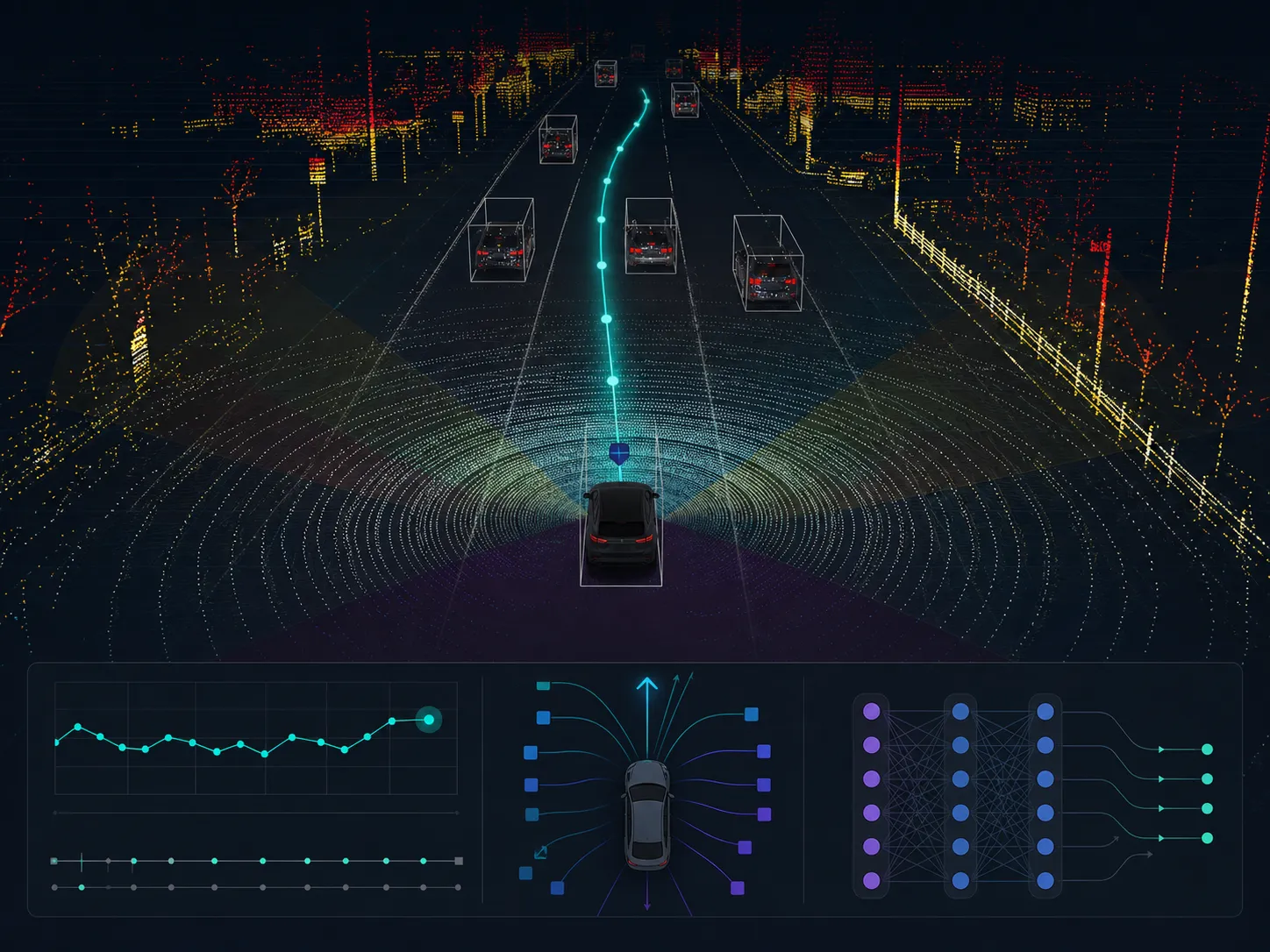
Radar-aware End-to-End Driving AI
Align radar point clouds with CAN · GNSS/IMU egomotion for end-to-end (E2E) driving · vision-language-action (VLA) · planning research. Quantify how much radar contributes to driving-action prediction through velocity/range measurement and adverse-weather robustness.
Looking Beyond Synthetic Data?
Dataset evaluation · adoption review · licensing — a specialist replies directly.